Cloud-native by default
Stored in open formats built for the web, fast to stream and readable everywhere.
- GeoParquetVector
- FlatGeobufVector
- Cloud-Optimized GeoTIFFRaster
- PMTilesTiles
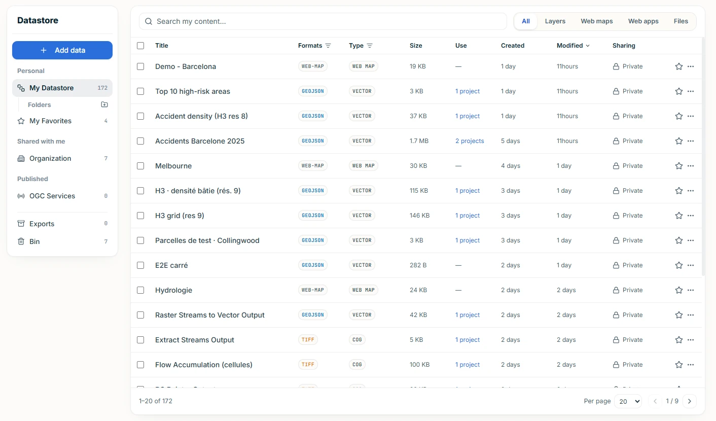
Store, organize and share your layers, web maps and applications: typed, in open formats, and ready to map in both builders.
European Union, Copernicus Sentinel-2 imagery 2023 - Kazakhstan
One catalogue
Your entire geospatial data, unified in one place.
Sharing
Four levels, and ALIGN warns you before a change breaks a published map.
Deploy a PostgreSQL database in seconds, stream OGC services, or import cloud-native files straight from any URL: everything lands in your Datastore, typed and ready to map.


Every layer in your Datastore exposed back as OGC API services: Features · Tiles · Maps, via pygeoapi, ready to be consumed by any OGC-compliant client.
No proprietary format and no lock-in. Download your items and use them anywhere.
Stored in open formats built for the web, fast to stream and readable everywhere.
Uploads keep their format, with a ready-to-render copy next to them. Nothing is converted behind your back.
Web services stay a live reference to their source, so they never fall out of sync.
Browse curated open data through the Data Hub, in both the Map Builder and the App Builder, and pull what you need straight into your Datastore.
Bring your own accounts in, and let other GIS software read your layers out.
Connect the services and databases you already use, once. Your provider keys stay scoped and never leave your account.
Publish layers as an OGC API service: one address, its own access rules, read live by QGIS and other GIS software.