Analyze and transform
Run spatial operations directly on your data.
- Vector
- H3
- Statistics
- Terrain
- Hydrology
- LiDAR
- Remote Sensing
- Projections
Connect your data, explore it, run spatial analysis, style the result and publish an interactive web map, all from your browser.
No desktop GIS required.
Contains modified Copernicus Sentinel data 2026 - Norway
Turn raw data into publish-ready maps. Analyze, design and share from a single environment.
Run spatial operations directly on your data.
Transform your data into a map built for exploration and action.
Go beyond visualization. Run spatial analysis and get the answers you need.
“What is within 500 m of these schools?”
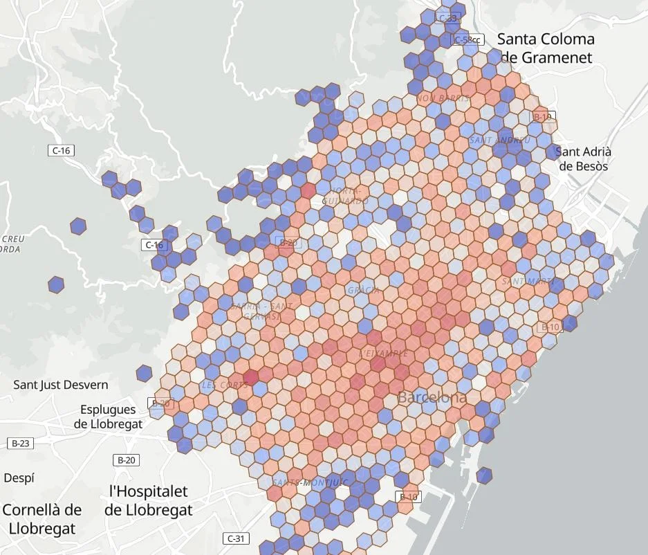
“How many road incidents occurred in each H3 cell of Barcelona?”
“Which buildings fall inside the flood zone?”
Experience spatial data at its most immersive. Explore point clouds, city models, terrain and photorealistic scenes seamlessly in the browser—no plugins, no desktop software.
Describe your objective in natural language, and let the AI Assistant guide you through the right geospatial workflows to achieve it.
Your maps. Your audience. Your control.
Share privately with your team, publish to the web, or embed seamlessly wherever you choose.
Your data stays yours. Work with open standards and keep full control, now and in the future.