Autonomous geospatial intelligence
Advanced geospatial workflows, with minimal intervention.
Geospatial AI
REGIS is our proprietary geospatial expert, built to turn complex spatial questions into precise, scalable, and actionable solutions.
Advanced geospatial workflows, with minimal intervention.
REGIS selects and applies the most relevant spatial approach for each challenge—maximizing precision, efficiency, and impact.
From spatial analysis and data architecture to APIs and custom web applications, REGIS delivers integrated solutions built around your operations.
European Union, Copernicus Sentinel-2 imagery 2024 - Australia
AI in every product
One elevates your mapping workflow. The other brings your application to life.
Map Builder
Works with your map.
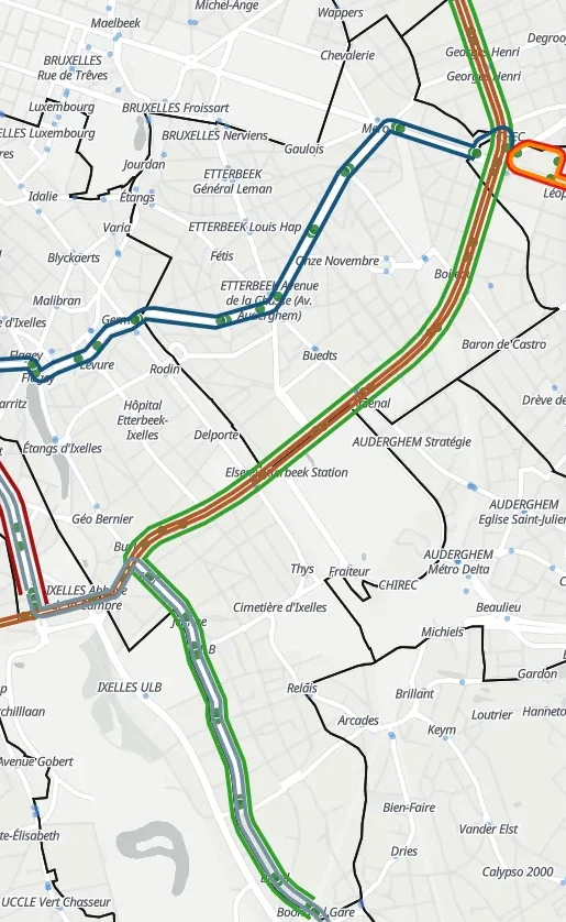
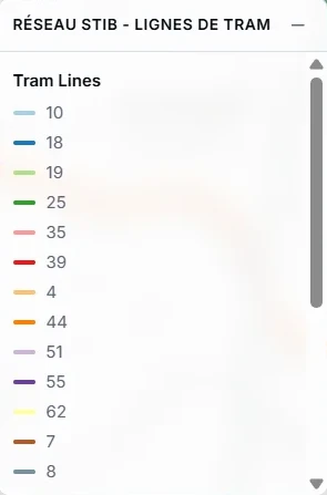
Ask it to add data, style layers, run analysis or configure widgets.
App Builder
Works on your application.
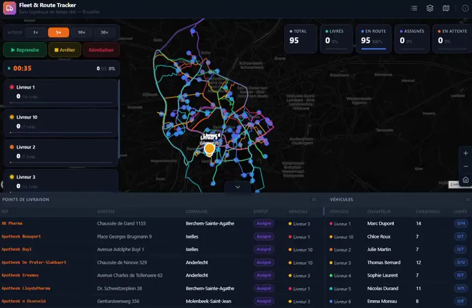
Describe what you need. It builds and adapts the code, widgets, data and logic.
Different roles. One principle: AI works seamlessly alongside the tools you already trust and control.
Select, combine and evolve the AI models that best align with your standards for performance, governance and sovereignty.
More models coming soon
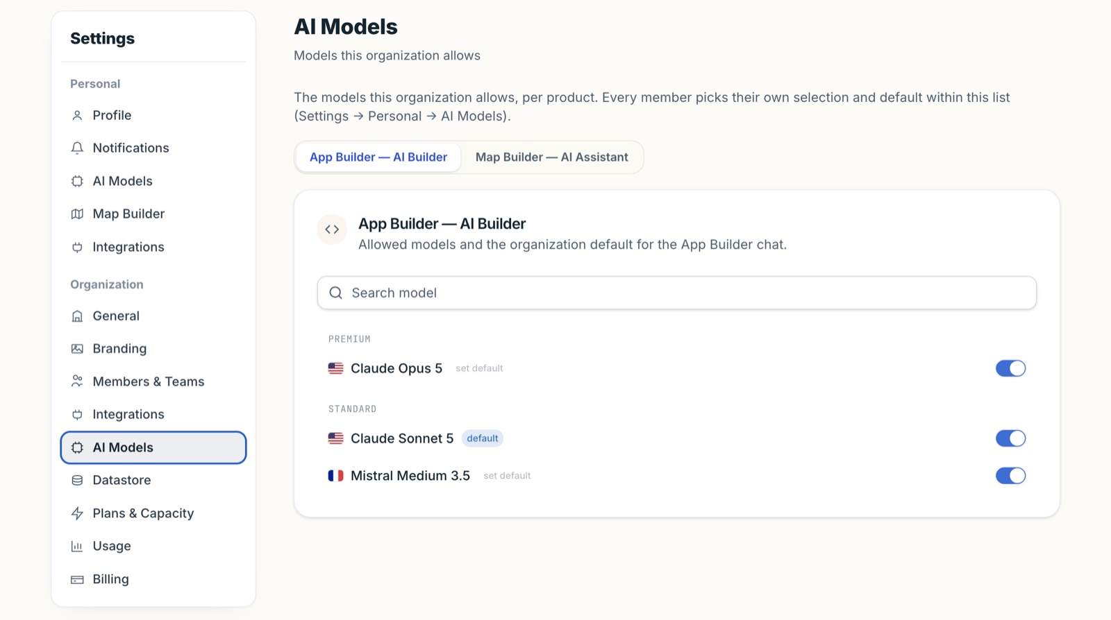
AI should never operate beyond your oversight. Every action remains transparent, traceable and reviewable—so you can see what it does, understand how it reaches each outcome, and retain full control at every step.
Powerful AI, with human-grade transparency.
Start building for free